Products
Evan-Moor Educational Publishers
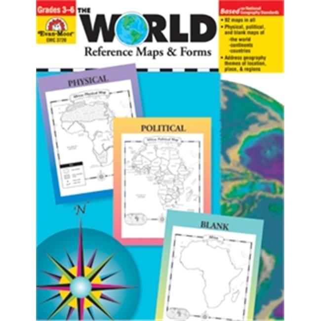
Evan-Moor Educational Publishers 3720 The World Reference & Map Forms
Upgrade to unlock this product- Shipping Cost (lower 48): $9.46
- SKU: EMEF607
- Asin: 1557999546
- Manufacturer Part #: 3720
- Qty Available: 17
- Shipped By: 7 days
- Stock: In Stock
Please login to view pricing details.
Product Description
The World-Reference Maps & Forms contains 92 maps, evaluation forms, a crossword puzzle, a word search, and an answer key.
- Dimension - 11 x 0.25 x 8.5 in.
- Page Count - 112
- An introduction of general facts about the world
- A list of 192 countries in the world
- A reference political map of the continents
- A blank world map
- Robinson and Mercator projection maps
- Globes, showing hemispheres, parallels, and meridians
- Maps of oceans, rivers, mountain ranges, and deserts
North America:
- An introduction, listing the countries, area, population, elevations, and fun facts about the continent
- Reference political and physical maps of North America, Canada, the United States, and Mexico
- Blank outline maps of North America, Canada, the United States, and Mexico - shape, political, and physical
- Study maps of each region of the United States and Mexico and the provinces and territories of Canada
- A reference map of six regions of the United States
- Study maps of Central America, the Greater Antilles, and a reference map of the Lesser Antilles
- An introduction, listing the countries, area, population, elevations, and fun facts about the continent
- A reference political and a physical map of the continent (a political map of Oceania is included with Australia)
- Blank outline maps of the continent - shape, political, and physical
- Study maps of regions of the continent
- An introduction, listing the area, elevations, and fun facts about the continent
- Reference polar projection maps of Antarctica and the Arctic Region
- A reference map of the scientific stations in Antarctica
- Blank outline projection maps of Antarctica and the Arctic Region
 upgrade to unlock this product
Press CC5500 American Civil War
upgrade to unlock this productPress CC5501 World War I
upgrade to unlock this productPress CC5502 World War II
upgrade to unlock this productPress CC5505 Korean War
upgrade to unlock this productPress CC5506 Vietnam War
upgrade to unlock this product